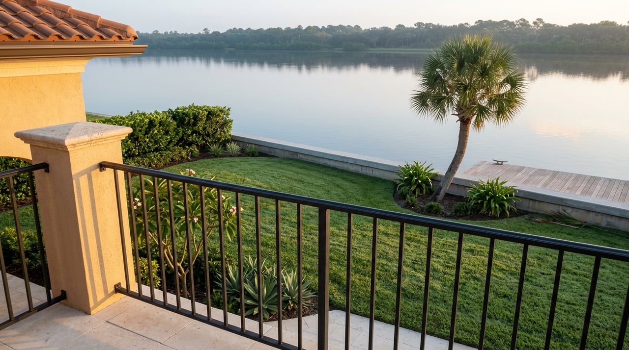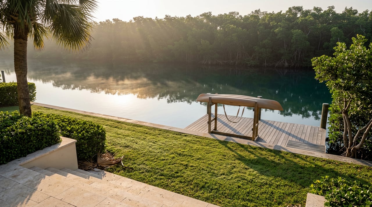
Most mornings on Gasparilla Island start the same way for a visiting paddler: load the kayak, find parking near the east end of 19th Street, carry the boat down to the launch, and hope the tide cooperates. For a homeowner in Boca Grande Isles, the same morning starts by stepping off the dock.
That difference sounds small until you look at where the water actually goes. The public launch that outfitters use to reach the island's best paddling water and the private canals behind Boca Grande Isles homes lead into the same system. Residents just skip the drive.
Five Names for What Looks Like One Canal
Say "the canal" to most people who live on Gasparilla Island and they picture a single ribbon of water. Boca Grande Isles residents know better, because their deeds do. The neighborhood's roughly 120 platted, deeded waterfront lots carry views across five distinct named bodies of water: Boca Grande Bayou, Sunset Cove, Hole in the Wall Bay, Treasure Lake, and the wider reach of Charlotte Harbor and Gasparilla Sound beyond them. Many homesites sit directly on private deepwater canals that feed into this network, which is part of why the neighborhood has functioned as a boating and fishing address since Sunset Realty Corporation bridged the bayou at 16th Street in 1973 and platted the community as its own incorporated homeowners' association.
That distinction matters for a practical reason. A dock on Hole in the Wall Bay and a dock on Treasure Lake are not interchangeable views of "the water." They are different named basins in a chain that eventually opens into Charlotte Harbor, and each has its own personality depending on wind, tide, and time of year. If you have only ever thought of your backyard water as scenery, it is worth knowing it also has a map reference.
The Cut Everyone Else Has to Find
The most useful piece of local knowledge about this water system does not come from a real estate listing. It comes from a fishing column.
Kimball and Les Beery, who write the Angler's Guide series for kayak and shore fishing in Southwest Florida, have named the same public launch at 19th Street East as one of their favorite spots on the island, precisely because of where it leads. Paddling east from that launch across the grass flats, which can run nearly dry on a negative low tide, eventually brings a paddler to what they describe as a deep cut between Hoagen Key and Three Sisters Island. That cut concentrates moving water and bait, which is why it draws snook, redfish, and trout, and why serious anglers treat it as a destination worth trailering in for.
The water that outfitters drive visitors to reach is the same water Boca Grande Isles docks already open onto.
That is the piece of information most neighborhood guides miss. The Hoagen Key and Three Sisters Island area is not some far-flung eco-tour stop. It sits inside the same bayou and sound system that Boca Grande Isles homes are platted around. A resident does not need the 19th Street parking lot, which has gotten tighter in recent seasons after storm damage took out the shade trees that used to line it and construction near the entrance ate into the remaining spaces. The private bridge at 16th Street and a home dock get you into the same water without any of that.
What You Are Actually Watching For
Ask a paddle outfitter what people see on these routes and the answers repeat themselves: dolphins, manatees, osprey, and the occasional ray or small shark cruising the shallows. SUP Englewood, which runs both self-guided rentals and two-hour guided tours launching from that same 19th Street East spot, routes its trips through Boca Bayou, Hoagen Key, and Loomis Key specifically because sightings there are reliable rather than occasional. Guests on recent guided trips have reported dolphin and manatee encounters close enough to draw a crowd of phones, along with a running lesson on why the mangrove edges matter to the whole system.
None of that requires a guide if you already live on the water it describes. An osprey working a dead mangrove branch or a manatee working the shallows near a seawall is not a special excursion for a Boca Grande Isles resident. It is Tuesday.
Manatee behavior does follow a real seasonal pattern worth knowing, even if you never leave your dock. The Florida Fish and Wildlife Conservation Commission notes that manatees disperse widely along the coast during warm weather and concentrate near warmer water sources when temperatures drop, typically from November into March. Translated to a bayou like this one, that means summer sightings are more a matter of luck and patience, while cooler months tend to bring the animals in closer and more often. Dolphins are far less particular about season. Gasparilla Sound and the broader pass system connecting to Charlotte Harbor stay active with dolphin activity most of the year, since the same tidal movement that draws fish draws the animals that hunt them.
Reading the Season
Late August, where the calendar sits right now, is not the highlight reel month for wildlife watching here. It is hurricane season, afternoons build thunderheads fast, and the smart paddling window is early morning before the heat and the storms both arrive. But it is also a quiet, uncrowded stretch on water that gets considerably busier once snowbird season fills the island back up in the fall and winter. A resident who paddles Hole in the Wall Bay or Treasure Lake in late August is often paddling it alone.
A few reference points, drawn straight from what borders the neighborhood, if you are getting your bearings on the map for the first time:
- Boca Grande Bayou connects toward the historic bridge crossing at 16th Street and the broader village side of the island.
- Sunset Cove and Treasure Lake sit within the interior of the platted community, closer to most of the private docks.
- Hole in the Wall Bay opens toward the wider Gasparilla Sound system.
- Charlotte Harbor and Gasparilla Sound are the two larger bodies everything else eventually feeds into, and where the island's tarpon and dolphin activity is most concentrated.
None of this is exotic information. It is the kind of thing a longtime resident already half-knows from years of watching the tide from a lanai. But half-knowing where your water goes is different from knowing that the exact channel a fishing guidebook singles out, and the exact route an outfitter charges visitors to paddle, both run through the same system your dock sits on.
That is worth remembering the next time someone visiting the island mentions they are heading out to find "that spot with the good fishing near Three Sisters Island." You are not that far from it. You may already be looking at it.
If you are curious how the rest of Boca Grande Isles compares to other pockets of Gasparilla Island, or just want a steward's eye on how the neighborhood is holding up season to season, the team at Steffan Sieglaff Crawford Team has spent years tracking this stretch of water block by block, dock by dock.